The Path
Location
The North Down Coastal Path follows the southern shore of Belfast Lough for 24 kilometres from Holywood in the west to Orlock Point in the east. It meanders along the shoreline through a variety of beaches and winds sympathetically around urban and residential areas, through wooded glens, past golf courses linking towns and villages.

Environmental Importance
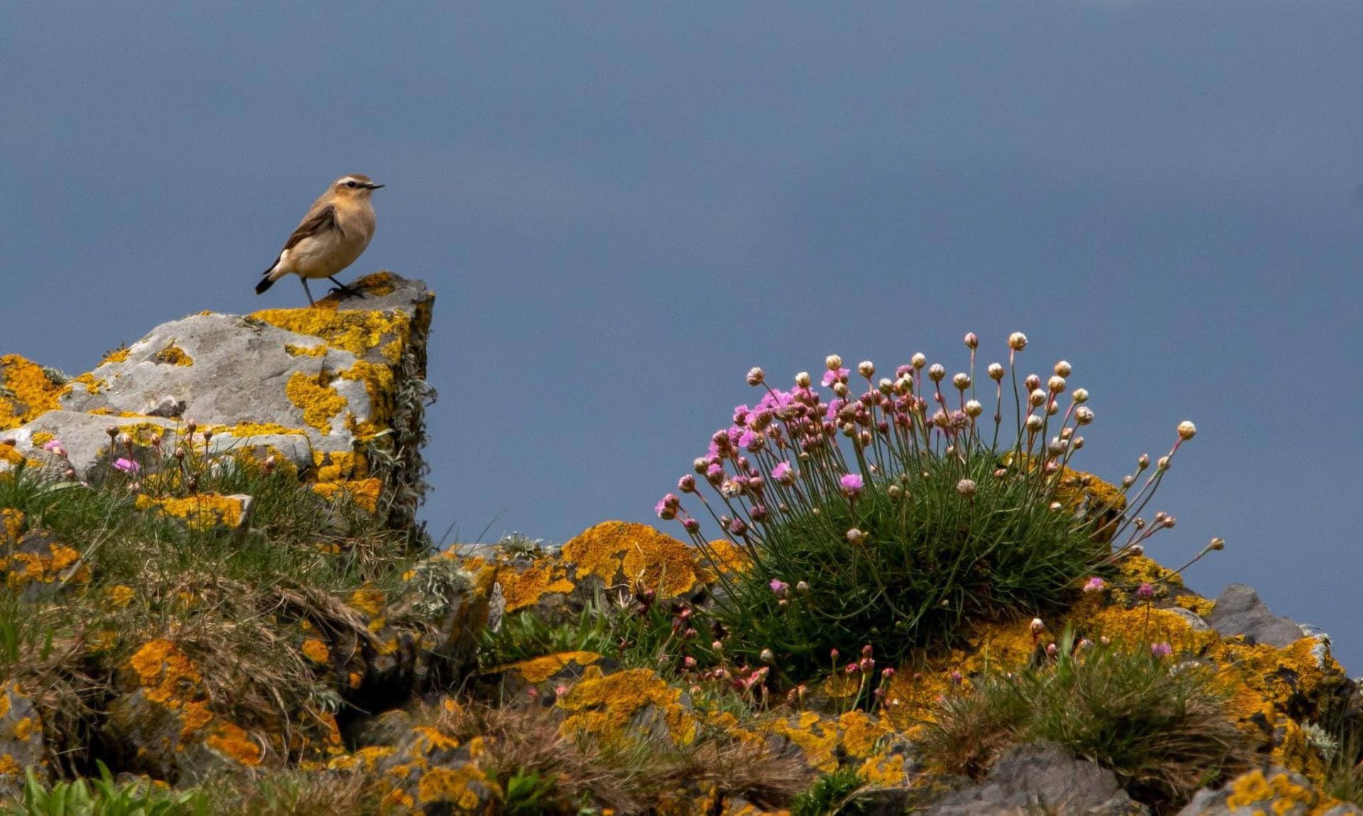
The area through which the path meanders is recognised as internationally important for breeding, overwintering and migratory birds. It is designated as a Special Protection Area (SPA) and is one of only 175 Ramsar sites in the UK.

At a national level, the area is a designated Area of Special Scientific Interest (ASSI). This statutory protection is given to places because of their flora, fauna, geology or geographical features. Along the length of the path, there are a number of sites that have been designated by the Council as being locally important for nature conservation.
A fantastic resource for locals and visitors
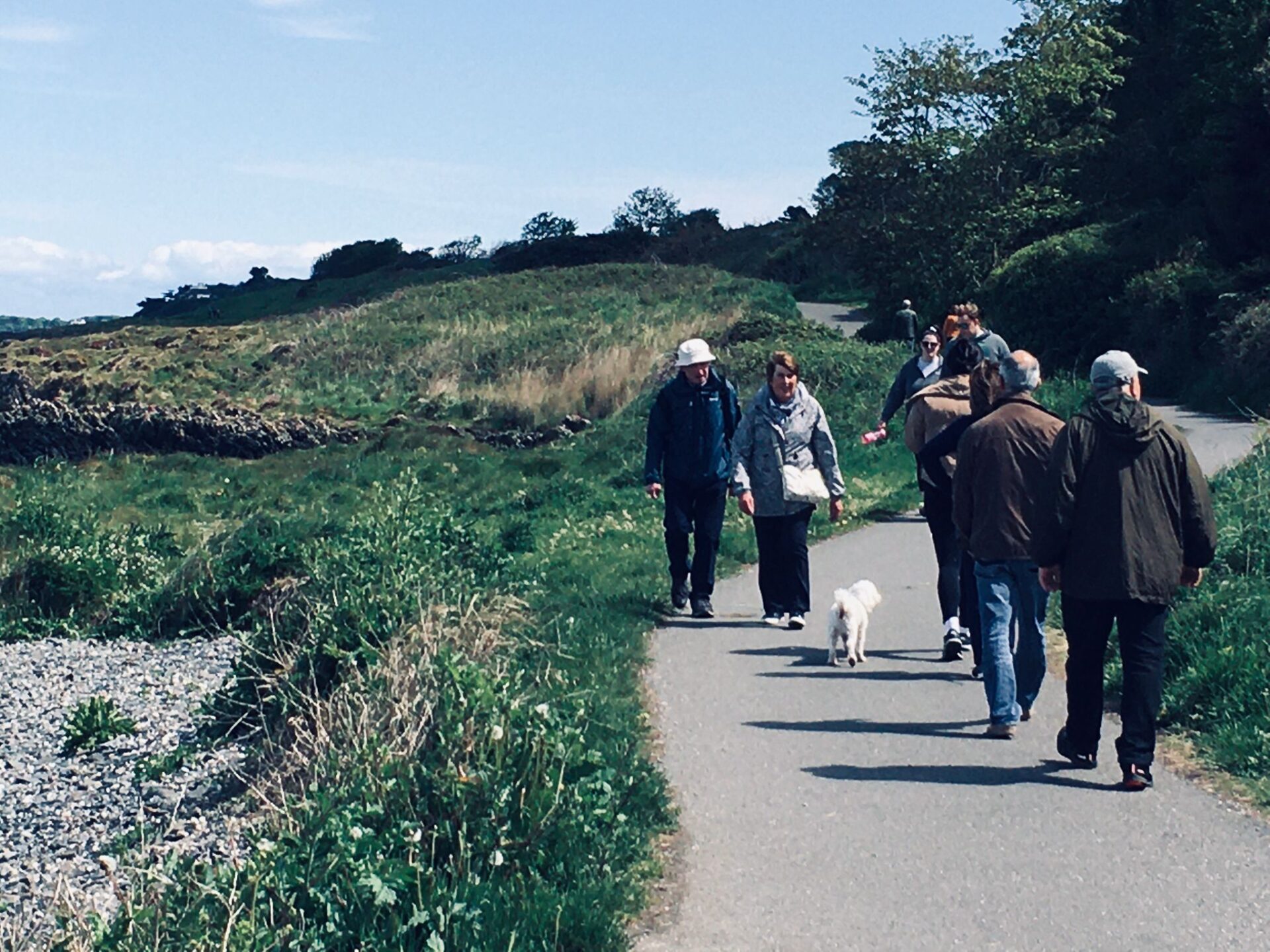
The North Down Coastal Path has something to offer everyone, from its peaceful walks, busy beaches and proximity to urban areas. The exact numbers of people who use the path are difficult to establish due to the number of access points but we can safely state that there are several thousand people who enjoy it each year to access various locations and also to enjoy it for its own sake. We do walk and cycle along it, but it is also a wonderful inspiration for artists, photographers and writers and a great place to meet, socialise, swim, play and just enjoy the beauty of the coastal environment. For that reason, this group would emphasise that the North Down Coastal Path is not merely a route, but a destination in its own right.
