Locations on the route
Route Map
For more details, zoom in and click on the red dots on the map
Holywood area
The busy town of Holywood has a fantastic selection of cafes, bars and shops to explore. To the west of the town lies the area known as ‘Kinnegar’ which, despite running alongside a Ministry of Defence base, provides an excellent walk for wildlife, history and shipping interest, as described here by Charlie Reid. The town boasts a sandy beach and play area at Seapark which progresses towards Farmhill Beach to the east, before narrowing to a stretch of straight tarmac path before reaching Royal North of Ireland Yacht Club. Here is a great place to view the comings and goings to the port of Belfast and provide a straight and easy path to walk, run or cycle along. The area here is part of the Outer Belfast SPA, ASSI and Ramsar, and similarly to the rest of the route you might be treated to a sighting of one of our many seabirds or mammals which regularly frequent this rocky stretch of coastline.
The town has a train station, car parks and all facilities. It is an excellent place to either start or finish a stroll or cycle along the coastal path, and perhaps enjoy a drink before getting the train back to your starting place. The town is well known for its maypole which is positioned in the centre of the town. It is said to date back to approximately 1700 when a Dutch ship ran aground, and the crew erected the mast as a sign of appreciation for the assistance of the local people.
Cultra
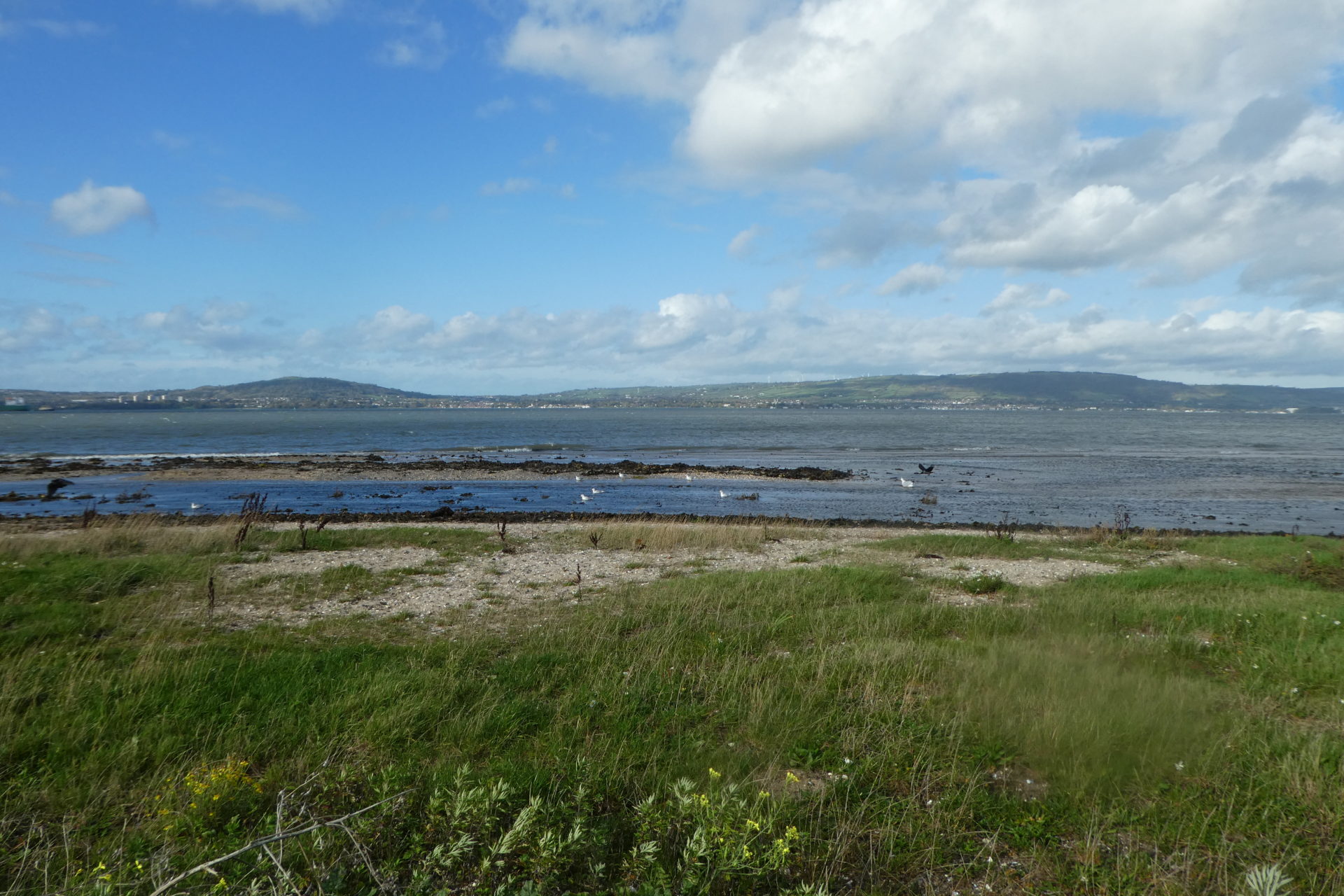
Moving past Holywood you reach the Royal North of Ireland Yacht club after which the path joins the Seafront Road for a short distance as we enter the area known as ‘Cultra’.
Cultra is a residential area just to the east of Holywood, renowned for its large, affluent houses for the well known hotel, The Culloden and for the Ulster Folk and Transport Museum. The museum is divided into two parts, with the folk museum being on the landward side of the A2 and the transport museum being on the seaward side. There is a bridge connecting the two sides and the museums are accessible from the North Down Coastal Path. A map of the folk museum is accessible here and a full details of the transport museum can be found here.
Cultra is also the location of the Royal Belfast Golf Course a historic club, founded in 1881 and a winner of multiple awards, included the Golfers Guide to Ireland Clubhouse of the Year, 2024.
The stretch of coastline here is rocky and very well frequented by curlews, oystercatchers, redshank and seals. At high tide, the water comes right up to the edge of the sea wall, and low tide reveals a haven for waders (and children of all ages who enjoy rock pools). The part of the path which passes the gold course here is narrow and needs to be walked/wheeled with care. At the time of writing it would be necessary to dismount to traverse parts of this path safely, however – this would be well worth it to enable you to take stock of the beautiful scenery here.
Seahill/Rockport area

As you progress past the Royal Belfast Golf Course, the path will become very narrow and rocky, but also very beautiful. A series of slightly offshore rocks can treat you to sightings of a variety of seabirds such as cormorants. Take care with your footing here and wheel your bike/buggy carefully as you pass through a picturesque and narrow archway covered with ivy. The path then progresses round until you reach a metal bridge which was erected in 2015 in order to bypass a steep series of steps which used to form the path at this point.
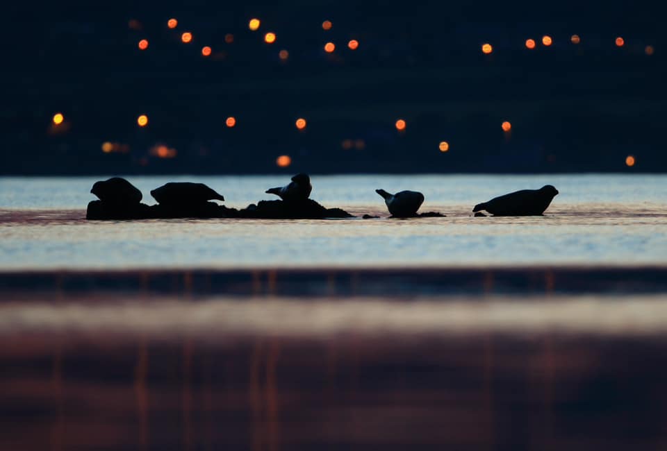
This area is rich in wildlife and home to otters, many seals and pine martens. It is characterised by large areas of gorse and inland woodland, just perfect habitat. There are many outcrops of rocks where you will often see large groups of seals loafing alongside cormorants and shags.
Crawfordsburn Seapark
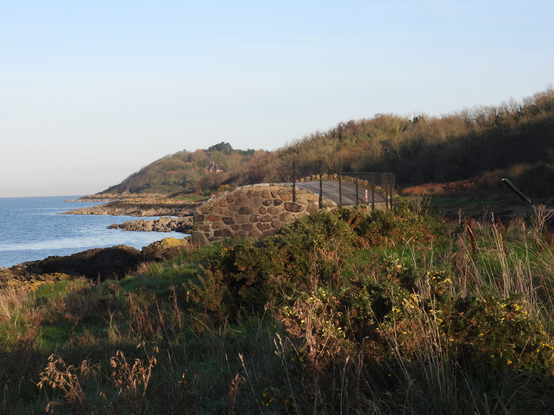
The path will then open up to a beautiful area with a path leading up to a car park at Seapark, Helen’s Bay. From this point onwards, the environmental designations seawards are part of the Outer Belfast Lough Special Protected Areas, Ramsar and Areas of Special Scientific Interest. Here, as with Crawfordsburn and other more natural areas, the area is also a Local Wildlife Site The area here is substantially protected inland due to the importance of the flora of the area. Perhaps the most natural part of the path here, keep your eyes peeled for rare butterflies, wild flowers and mammals such as pine martens and otters, which are attracted to the fantastic gorse, grasses and wild flowers on either side of the path. On a calm day it can feel like you are miles from the town, with the only tell-tale sign being the city across the lough. One of the pleasures of this area is the bright open feel, with areas of woodland around the car park, and plenty of places to picnic and for children to play. A stone boathouse here adds to the character of the beach.
Grey Point and Grey Point Fort
Arguably the most interesting point on the route – Grey Point has outstanding value in many different areas. The location of the fort offers fantastic views of the surrounding landscape and a beautiful part of the coastal path walk.
Historically, the site was a coastal defence battery from World War I and II, and is in a fantastic state of preservation – one of the best in the UK. The fort was strategically placed on the entrance to Belfast Lough, built in 1904 then used in both world wars, becoming the coastal defence headquarters for Northern Ireland during World War Two. The Fort has been lovingly maintained and restored by volunteers in recent years, and a museum had been homed there for an interesting perusal for tourists and enthusiasts alike. At the time of writing this attraction was closed, but the fort can be viewed from the coastal path and various components can be explored on the seaward side of the path.
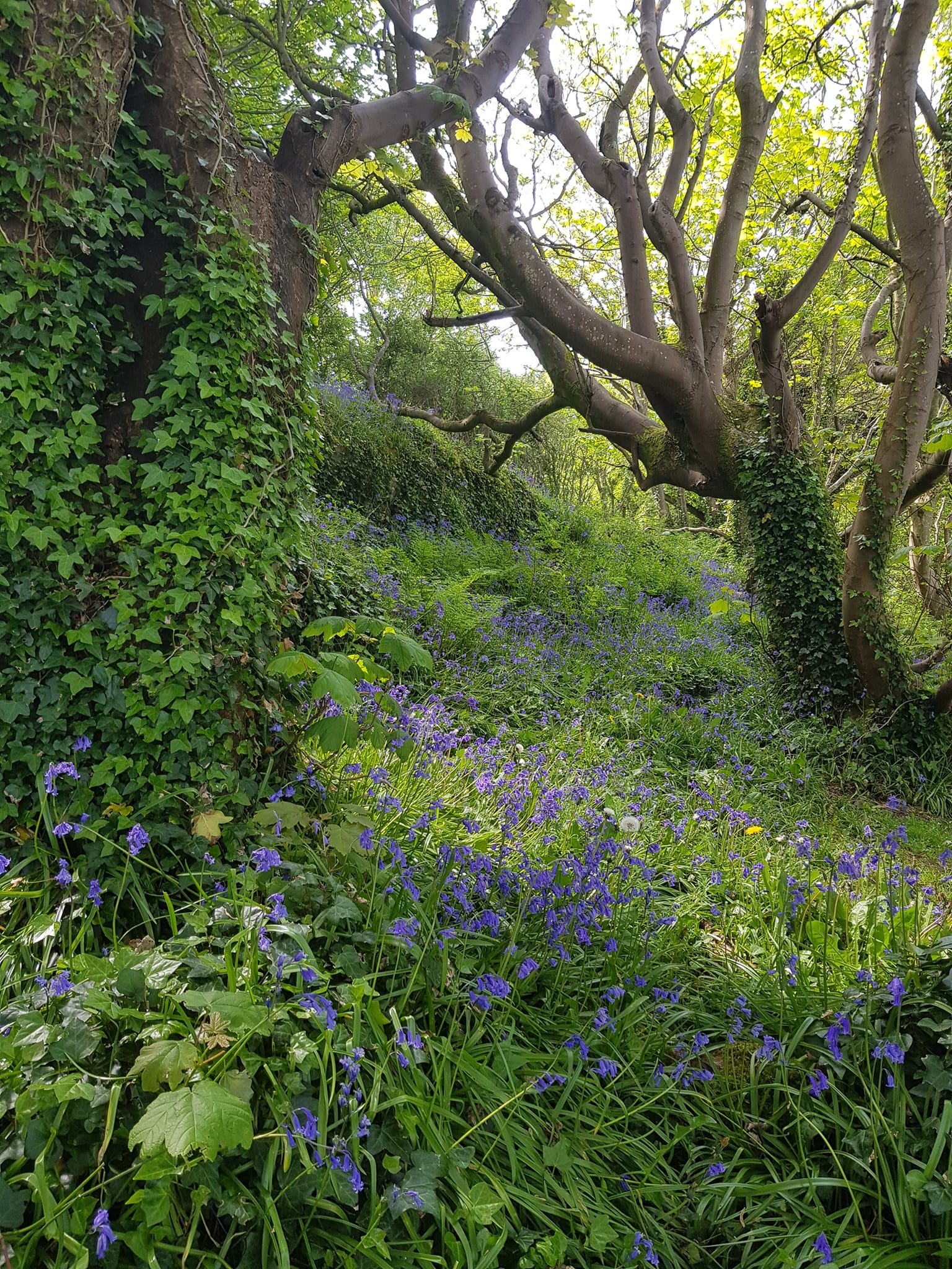
This area also has immensely important geological value including Horse Rock, the best outcrop of pillow lavas in Northern Ireland. The point itself is a haven for flora and fauna – with woodland, dense undergrowth in places and is home to many mammals, particularly badgers as well as plentiful birdlife. The woodland is alive with the sound of bird song, and a spectacular display of bluebells in late Spring.
Helen’s Bay
As you emerge from Grey Point, the path briefly joins the road at Helen’s Bay before descending back down to Helen’s Bay beach. This sandy beach is extremely popular with families and draws huge numbers of visitors on public holidays. The train station is just a ten minute walk from the beach, making it a popular place to join the path.
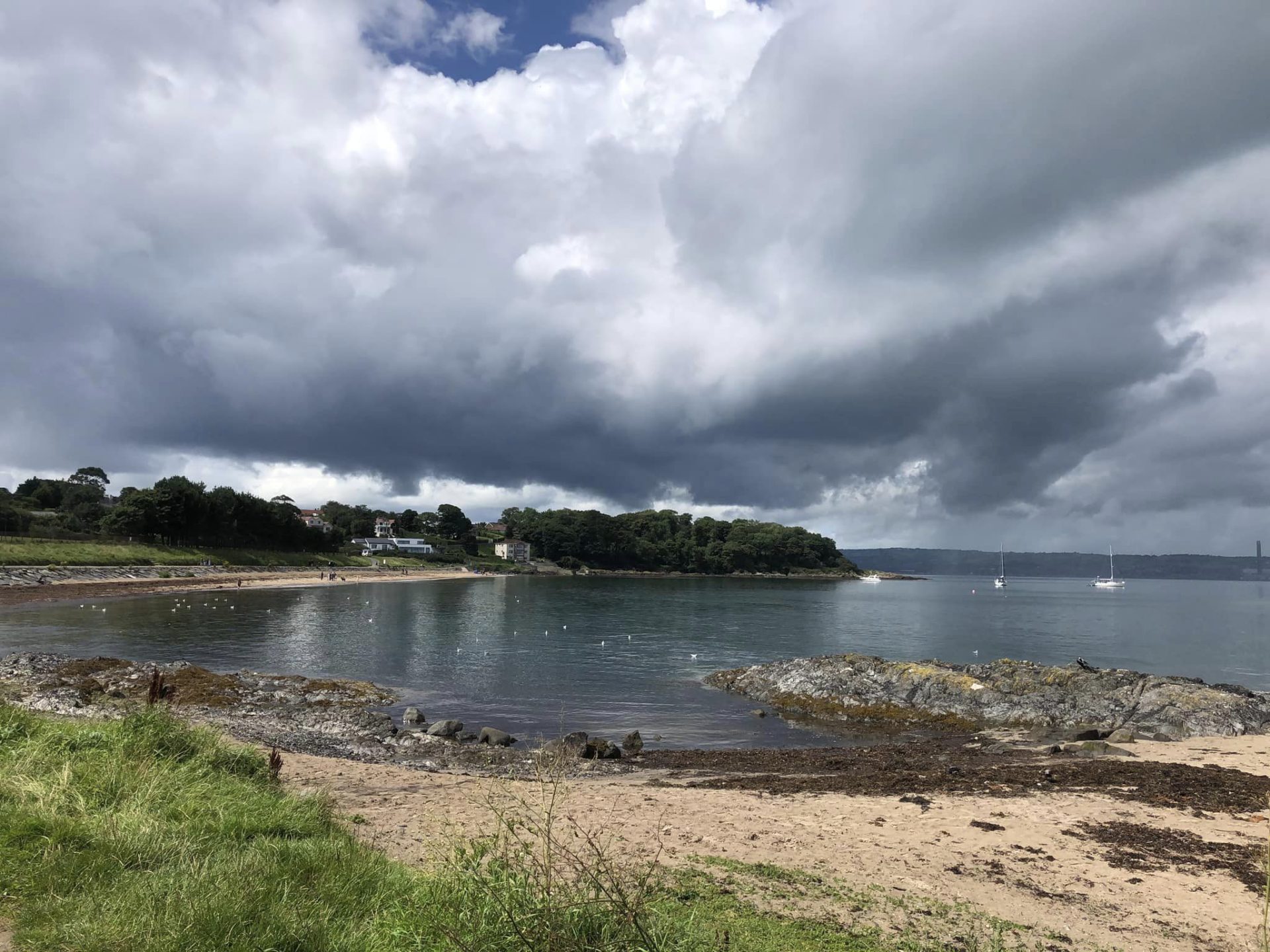
Helen’s Bay is actually a small village centred around the train station and a small number of businesses in the Station Square. There is a nine hole golf course here, but by far the greatest public draw is the beach, which attracts thousands of people here in the good weather. The beach is gently shelved and the water quality is good.
Crawfordsburn Country Park and Beach
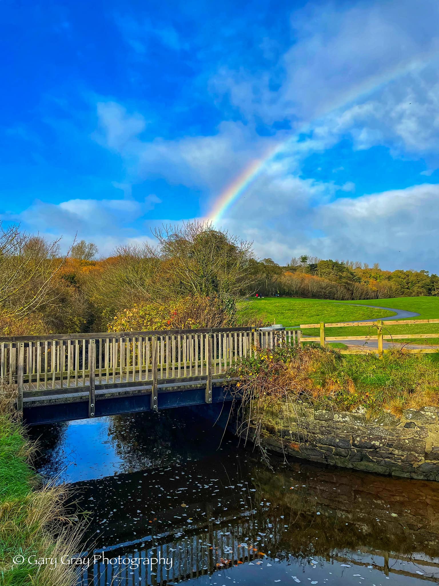
As the path progresses towards Crawfordsburn, there is another small wooded area before emerging onto Crawfordsburn Country Park. Crawfordsburn (meaning Crawford’s stream in Ulster Scots) is a village in North Down with a population of only 587 people (according to the March 2011 census) – however, it contains within its boundaries a wonderful country park which attracts in excess of 700,000 visits per annum making it one of the most popular parks in Northern Ireland. The park, which was established in 1971, is a fantastic area for recreation for all the family consisting of woodland walks, open areas, a scout centre, a café and visitor centre and, of course, a sandy beach which is about 700m long amid over two miles of stunning coastline. The woodland walks meander through trees, with an impressive waterfall and paths through wildflower meadows, as well as including a 3 mile running trail.
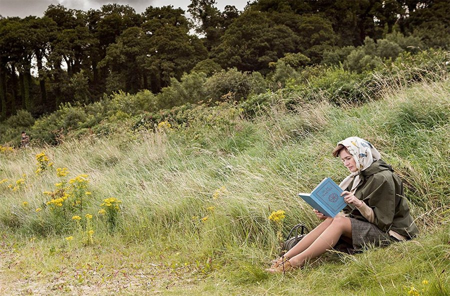
The golden sand and dark rocks on this part of the coastline are stunning in a certain light and Northern Ireland is frequently used for filming locations. The beach at Crawfordsburn featured in “The Bookshop”, starring Bill Nighy and Emily Mortimer, where the character played by Emily is relaxing among the grasses and flowers beside the beach, enjoying a book with the beautiful tree-lined landscape behind her.
The park has good parking and facilities and currently entrance and parking is free. It is also an ideal place from where you can access the coastal path for a relaxing stroll, easily accessible from various parts of the large carpark or along a walkway from the Woodlands Cafe and Visitors’ Centre.
Swineley Bay
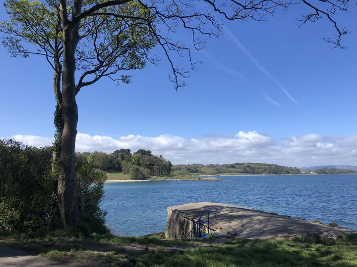
Swineley Bay is a pleasant little beach just between Crawfordsburn Country Park and Carnalea. Just before you descend to the sand there is an old boat house which was recently restored, and which may well be more commonly remembered as somewhere people have held barbecues with friends. The beach is very popular with dog walkers, and prone to being completely covered at high tide. A warning to all – bring your wellies if you plan to cross in inclement weather! One of our most photographed locations on the entire path, the treelined backdrop and the boathouse make this a very picturesque location.
For those who are keen on geology, it may be of interest to know that towards the West side of Swineley Bay there is a beautiful example of an olistostrome, where boulders from an ancient ocean have been squashed and stretched. Part of this feature is often buried under the shingle and sand of the beach. Sometimes it’s visible, sometimes it’s not. The sands shift depending on weather conditions, after storms etc.

Carnalea
Once you pass Swineley Point, a winding and scenic part of the path surrounds you with wild flowers and grasses, with some salt marshes creating a unique coastal habitat. The sheltered nature of Belfast Lough means that many parts of our coastline are able to host trees and flowers which could not survive on more exposed coastal areas. The Carnalea section is very popular with waders and seabirds, with colonies of Cormorants often visible on the rocky outcrops along with visiting birds such as Lapwing depending on the time of year. If you’re lucky you might be able to spot a dolphin or harbour porpoise, both of which occasionally can be seen from these spots.
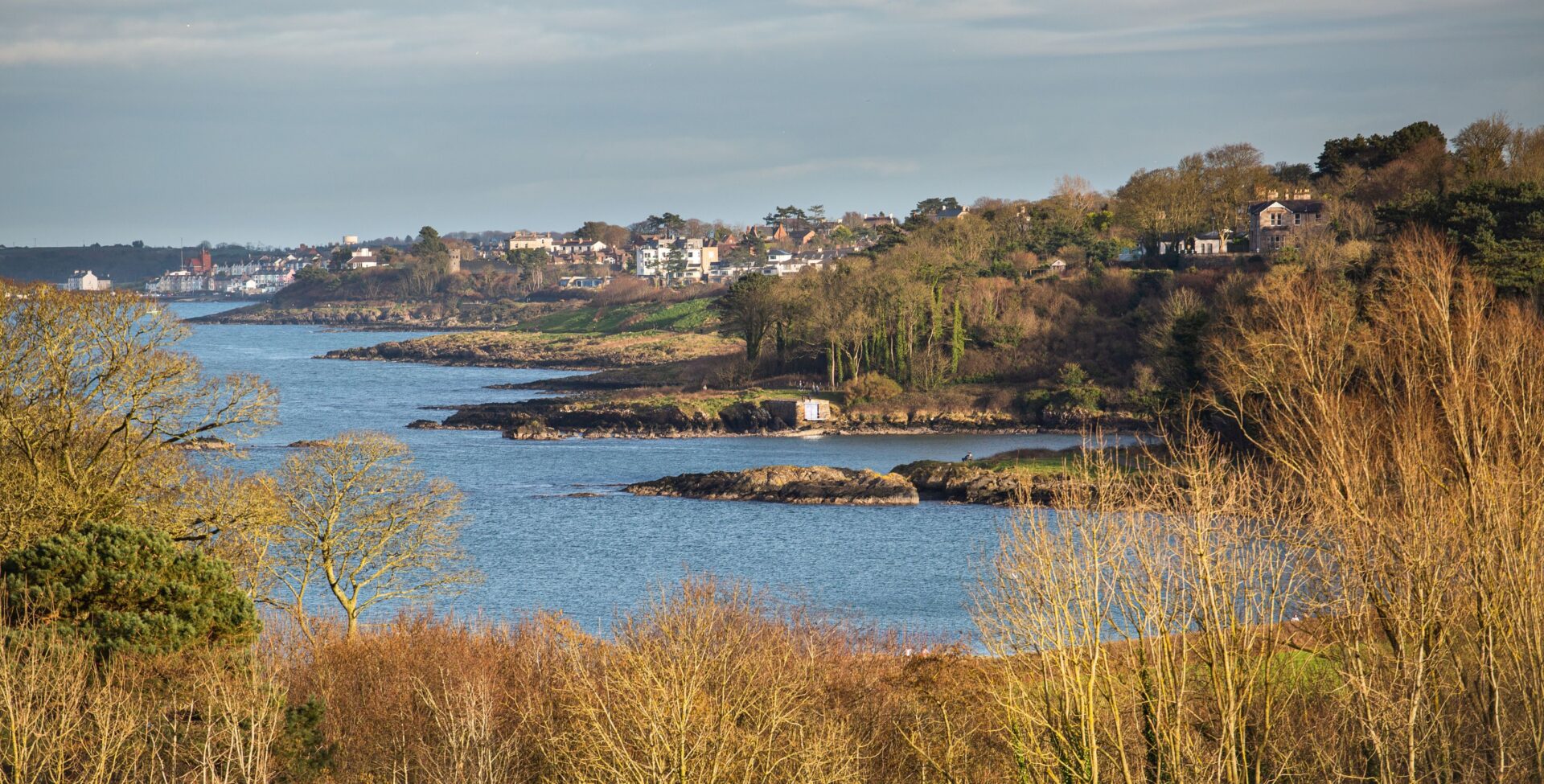
A pretty little section of the includes a bend and hill with a large area of gorse and wildflowers which has a small path for a careful walker to explore this natural, rocky section, which provides ideal habitat for ground nesting birds and insects. The path winds alongside Carnalea Golf Club for about a mile, before reaching Smelt Mill Bay.
Stricklands Glen/Smelt Mill Bay
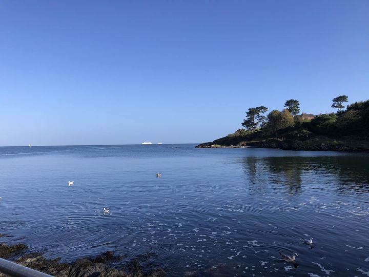
The lovely Stricklands Glen provides a sheltered wooded area, special habitat for woodland flowers and creatures. It sweeps down to Smelt Mill Bay, so called after the old lead smelt mill which used to operate in the area. Interestingly, this is also thought to be the harbour where Columbanus departed from before embarking on his journey to Europe. Just past Smelt Mill Bay as the path turns to the left is Jenny Watts Cave. Jenny Watt was a famous smuggler in the area, the daughter of John Watts who utilised her skill in sailing to help ferry good to the Isle of Man. Legend has it that she was drowned there while trying to escape from the excise men, but that she appears on Brompton Harbour on the last Friday of November every year! There is a group which has been established to preserve the special biodiversity of this magical woodland and details can be found on the Facebook page at Friends of Stricklands Glen.
Brompton Area
Coming up the hill from Stricklands Bay we reach Thalassa on which a huge old house used to be situated (known to locals in the 70s and 80s as ‘the haunted mansion’) surrounded by a number of large Scots Pine trees. The old house was demolished in the 1990s and a number of newer dwellings were built in its place including a large apartment building which sparked some controversy at the planning stage. The area opens up to a large green recreation area where a new state of the art water pumping station was installed. The small jetty here creates an ideal environment for sea swimming. The path proceeds round to Wilson’s Point, which is bordered by Seacourt Gardens with its historic stone wall.
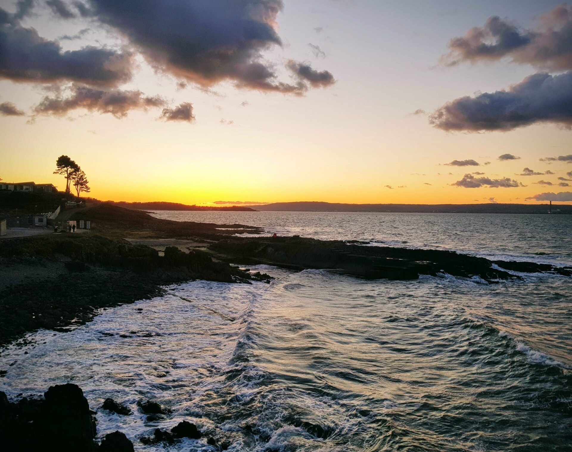
Wilson’s Point/Seacourt
Wilson’s Point is the promontory at which the historic building of Seacourt is nestled attractively to the landward side of the coastal path. It provides a fantastic vantage point from which to view much of the surrounding area and there is a Rotary Viewing Stone to show where the different landmarks around are and the distances, such as Mull of Kintyre and Copeland Islands. The large house at Seacourt has had many uses through the years, from residential, to a teacher’s training centre and most recently a print workshop.
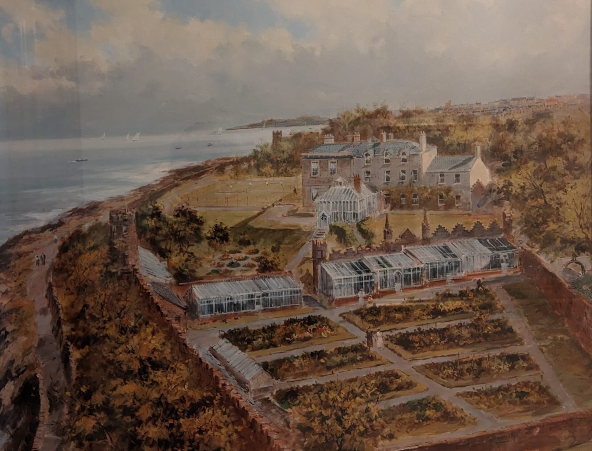
Seacourt has an interesting history. In the image above, the area at the foreground used to be the market garden, now developed with houses. To the right of the conservatory was the servants quarters, which was demolished to have two townhouses added on. The two grass courts became one, and more houses were built between the tennis court and what is now Seacourt Lane.
A little bit of history of Seacourt, with material kindly shared by David Jones.
“The house was built in 1865 by Mr Foster Connor whose initials are engraved on the glass panel in the front door. Lanyon may have been the architect: the builders were Henrys, who also built the Albert Bridge in Belfast. The mouldings of the main ceilings and the magnificent dome were created by a craftsman specially brought from Italy.
Samuel Cleland Davidson bought the house with its eighteen acres of ground in 1895 for five thousand pounds. Mr Davidson was educated at Royal Belfast Academical Institution and was initially apprenticed as a surveyor, but at the age of seventeen he went to join his cousin tea planting in Assam – an industry at that time in its infancy. Within ten years he became an authority on the subject and was consulted by the Indian government on the cultivation of tea. He had also devised the first mechanised drying process. Later he returned to Northern Ireland, took up residence in Seacourt, and founded the Sirocco Engineering Works to manufacture his inventions. Later, he introduced a revolutionary forced draught fan used in many mines, underground railways, and in the Royal Navy until coal was replaced by oil. Mr Davidson was knighted shortly before his death in 1922. His wife, Clare Mary Davidson, was the grand-daughter of John Ritchie, one of the founders of ship building in Belfast.
The Davidsons had two sons and two daughters. The younger son, Richard, died at the age of eighteen, while the elder son, James Samuel, was killed on active service with the Ulster Division in the Battle of the Somme in 1916. The elder daughter of John Ritchie lived at Glenbank and so Seacourt passed to the younger daughter, Mrs Kathleen Hadow. Two famous visitors to Seacourt was Lord Carson and Sir Thomas Lipton whose yacht, Shamrock took part in many Royal Ulster Yacht Club regattas. In 1912, the Society of Mechanical and Electrical Engineers held their meeting in Belfast and a garden party was arranged in their honour in the grounds of Seacourt.
During the Second World War the house became a convalescent home for officers of the British, Commonwealth and Allied Forces. For her services to these hundreds of men and women, Mrs Hadow received the M.B.E. She died at Seacourt in 1970, and her daughter, Mrs Nancy Bleakley became the new owner. In 1972 the property was acquired by the Down County Education Committee, under the directorship of Mr Frank H Ebbitt, for development as a Teacher’s Centre and a Rural Science Centre.“
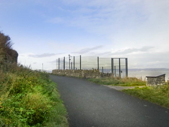
There has been some controversy and public and council opposition to a fencing structure surrounding the NI Water Pumping Station situated at the point – previously this unobtrusively blended with the surroundings. We still hope to persuade NI Water to remove this due to lack of need and the destruction of the amenity value of this scenic point.
As well as a fantastic location from which to potentially enjoy uninterrupted views West, North and East, the point offers a great opportunity to get the binoculars out and watch the seabirds and mammals. If you are lucky, you might witness a fantastic seabird spectacle when there are shoals of young fish, and the gulls and visiting birds such as gannets will collect to excitedly feed in their hundreds. Wilson’s Point, with a slightly elevated position offers an excellent spot from which to birdwatch.
Skippingstone Beach and Marine Gardens
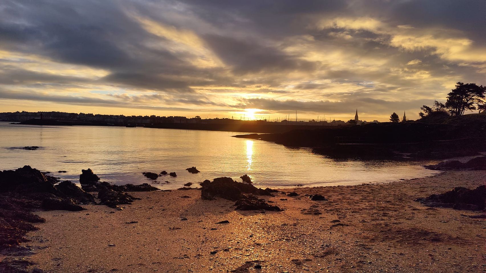
Moving past Wilson’s Point towards Bangor is the area known as ‘Marine Gardens’ where an old bandstand used to be positioned on the hill. The bandstand was removed some years ago, and now this open area is used as a resource for people to sit and enjoy the view and for children to play after visiting the adjacent Pickie Fun Park. Skippingstone Beach is situated just opposite, attractively sheltered by a small line of trees. This little beach was used as a ladies bathing place in Victorian times. Now this is a popular area for outdoor swimming and the steps there have been restored with an ornately decorated shelter for bathers. On the landward side of Pickie Fun Park, where Marine Gardens meets Queen’s Parade, there is a quirky little outdoor church which lends character and a feel for the spiritual history of the old town.
Bangor Central and Marina
Passing the North Pier to our left and Pickie Fun Park to our right, we come to Bangor Marina, which was build in 1989. It is the largest 5 gold anchor accredited marina development in Northern Ireland. The seafront development will hopefully bring an element of redesign to the entire area, enabling the town to connect more usefully to the Marina.
The Marina really is a fantastic maritime addition to the town. The town was always important in terms of fishing and boating. The McKee Clock – presented to the town in 1915 by the Honourable Robert Edward Ward sits on the Marina’s Eastern Boundary. The busy Marina has many facilities and activities, with the sheltered waters around Belfast Lough also providing great, safe conditions for sailing, kayaking and paddleboarding.
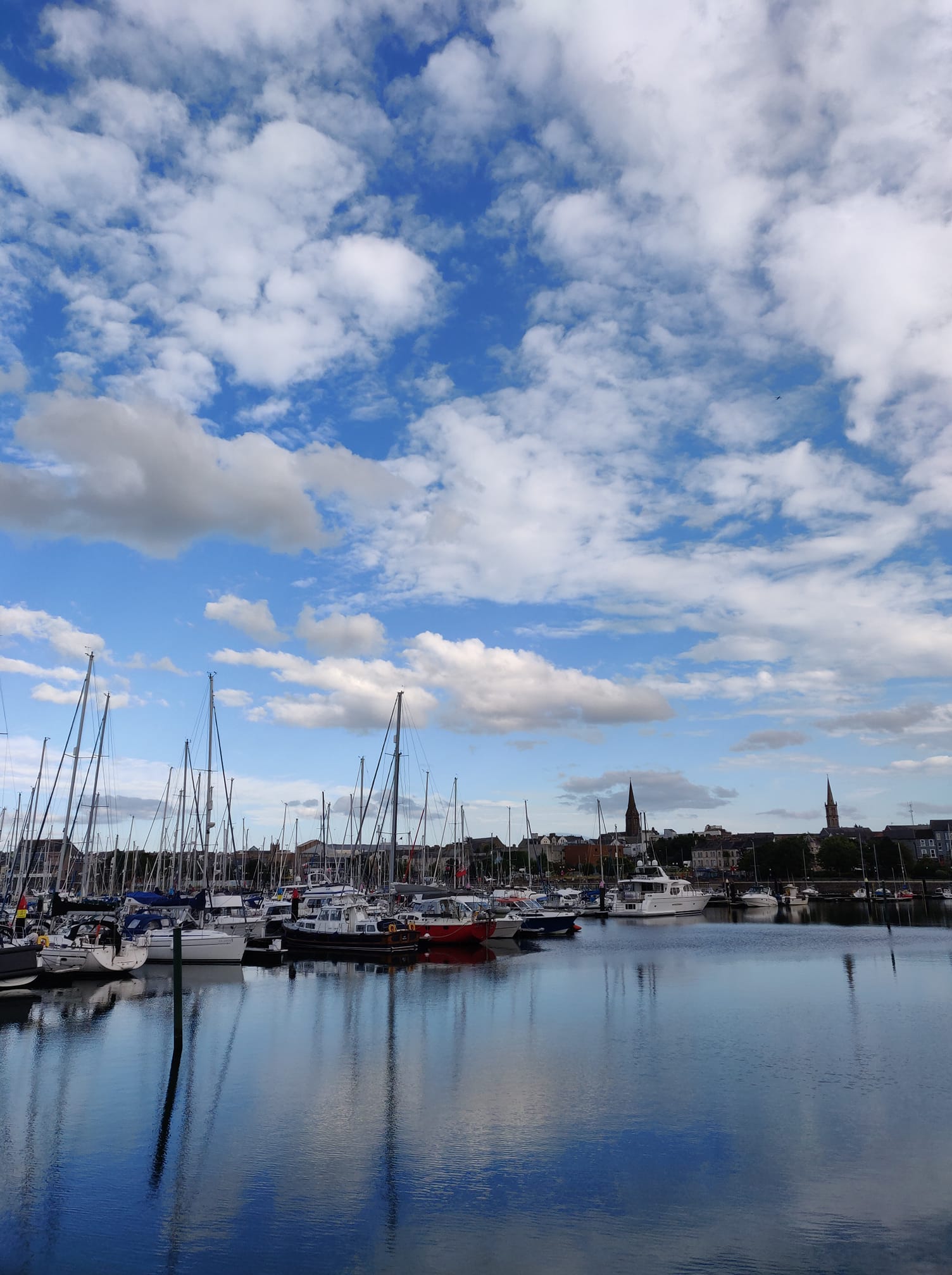
You will also see wildlife such as seals, herons and even otters which have integrated themselves into our busy man-made environment to avail of human ‘gifts’ and the fish which thrive here.
Pickie Fun Park
This vibrant park provides all the facilities for a fun day out with children. There are an array of activities including a playground, splash pads, pond boats shaped as swans and a cafe and all associated facilities. There is the wonderful ‘Pickie Puffer’ and Victorian Style Beach Huts for changing. The Park sits opposite the Marina with the wonderful Bangor Boat operating daily during the summer season to complete the day with a 30 min trip around the coastline. With an average of about 262,000 visitors per year (per visitor attraction survey, 2013-2020) this attraction, sitting right on the North Down Coastal Path is a popular attraction. The park has traditionally been serviced by the car park beside the Marina. With this car park being repurposed as a large outdoor/leisure area, the whole area will be serviced by a large multi storey car park at the nearby Flagship Centre, and the entire facility will link in with a fantastic new seafront area and hopefully soon-to-be buzzing City Centre.
The Long Hole and Seacliff Road
The Long Hole is a harbour which was created in the late 18th Century. Once a haven for fishing vessels, this is currently unused by boats, but has evolved to provide a peaceful sanctuary for our ‘Bangor Penguins’ – the guillemots which nest in the crevices of the wall and feed in the waters here. It is visited by herons, waders such as redshanks and plover, and the occasional seal. The origins of the harbour are not entirely clear. One account is that the rock was blasted out to create the wall surrounding the Castle Estate – as was the fashion of the day. The resultant area used to be known as the ‘Big Hole’ and this may well be the source. Another account, according to Bangor Historical Society, was that it was used as a mole, or breakwater, across Bangor Bay. Either way, it has remained unchanged for many years, and is much loved by locals – providing a peaceful area to sit on the benches there and look out to sea. It is so photogenic and unique, that a Facebook Page is devoted to it, with around a thousand members.
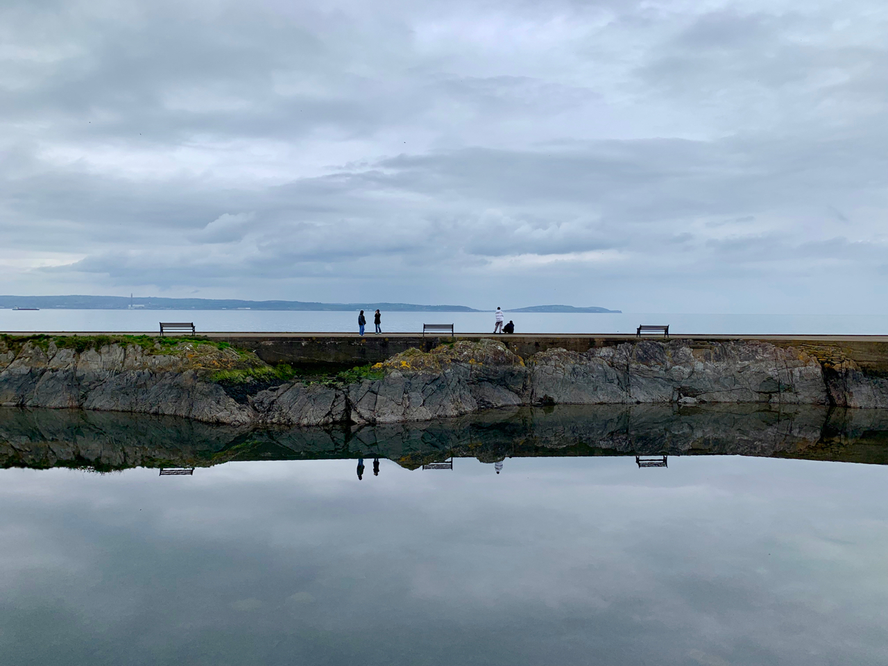
Continuing from the Long Hole towards Ballyholme, this urban part of the path runs for about a mile along Seacliff Road. This gently meandering street contains rows of well-preserved, colourful houses, many with original features from the 19th century. From this vantage point there are excellent views across the Long Hole and the bay towards Wilson’s Point. The rocky shore here is full of sea birds all year round, from oystercatchers, turnstones, redshank and plover.
Ballyholme
Moving on round from the Long Hole we come to the Seacliff Road, passing local businesses, cafes, restaurants and bars. Beyond that is the Kingsland area with an open area, dog park and two yacht clubs located nearby. From here we can see the popular Ballyholme Beach, a favourite for families with a great car park, public toilets and often some mobile coffee provision. It is reputed that Charles Dickens once bathed here on a visit to Belfast in 1858. It is an area long connected with boating and ship building, with a strong Italian connection. Read here for an account of the shipbuilding there. Ballyholme was the site of a Viking burial site, and according to local poet and historian, Tim Dwyer may well have been the area in which the poem ‘Viking Terror’ was written to describe the relief of inclement weather:
Viking Terror
Bitter and wild the wind tonight
tossing the tresses of the sea to white.
On such a night as this I feel at ease:
fierce Northmen only course the quiet seas.
Is acher in gáith in-nocht,
fu-fúasna a fairrgae findfolt:
ní ágor mora minn
dond láechrad lain úa Lothlind.
Ballymacormick Point
If you walk along Ballyholme beach over the river and on past Bank’s Lane car park, you will come to the National Trust reserve of Ballymacormick Point. The path here is narrow and after rain you will need suitable footwear to navigate the muddy puddles. If you veer off the main path to skirt the shore, look out for the round crater, the result of a WW2 bomb! There is a welcome bench at highest point on this section of the path, a favourite spot for a break.
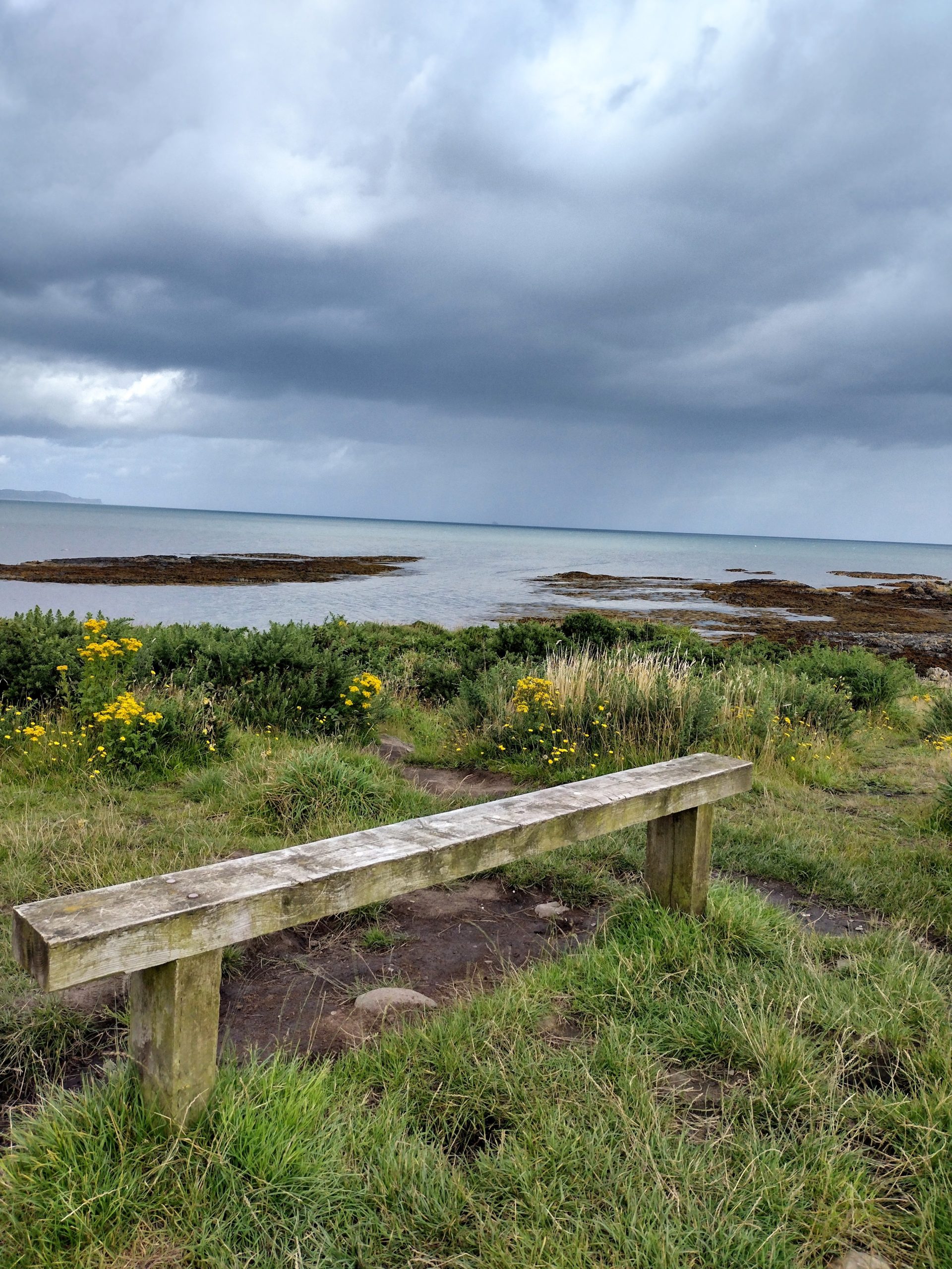
Further on, small tracks lead off towards the sea and one of these takes you to a concrete plinth which was the site of searchlight during WW2. Heading on towards Groomsport, you come to a tidal lagoon which at low tide you can traverse on the seaward side by using stepping stones. This is a very special salt marsh and it is home to many wintering birds so the National Trust ask that between October and March people leave the place for those birds.
Indeed, Ballymacormick Point is so important in terms of environmental significance that it has its own ASSI designation in line with Article 24 of the Nature Conservation and Amenity Lands (NI) Order 1985. The area is of special scientific interest because of the diversity of wildlife that it supports and the topography of the land. The details of this ASSI can be found here.
Groomsport
Now in Groomsport, originally a fishing village, you pass two 400 year old fishermen’s cottages, one with a thatch. These cottages are open during the summer months and local volunteers will tell you about the history of the village reputed to go back to the 9th or 10th century. Groomsport has shops, a café and a pub. It also has a large car park and public toilets.
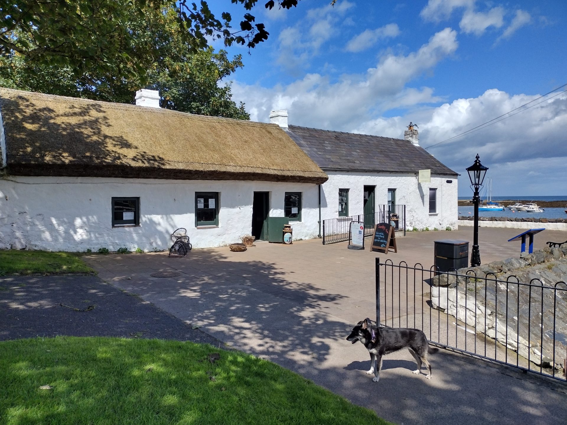
The next section crosses Groomsport beach and then up along rocky ground just above the sea. Further on, the path skirts in front of a caravan site and residential park; then it follows Sandeel Lane and through a gate beside a modern house on the seaward side into the National Trust owned Orlock Point.
Orlock Point
The land at Orlock Point has been owned by the National Trust since 1984. The path here is about 3 miles long, from Portavo to Sandeel Bay. The location includes an interesting feature called ‘The Coach Road‘ which is an old roadway which was carved out of solid rock in the area with an array of theories as to its origin.
The path leads from Sandeel Lane along a good track, the remnants of the Coach Road and past a WW2 lookout hut which provides a handy spot to observe bird and sea life. Continuing past open shingle bays and sheltered coves, the path passes under an archway with the ominous warning ‘Do not linger beneath Tunnel’ – having hurried through the tunnel and across a stony bay, you come to a set of steps which leads to the cliff top.
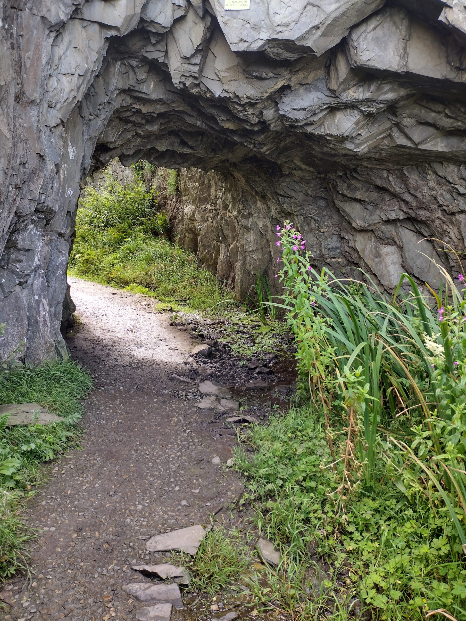
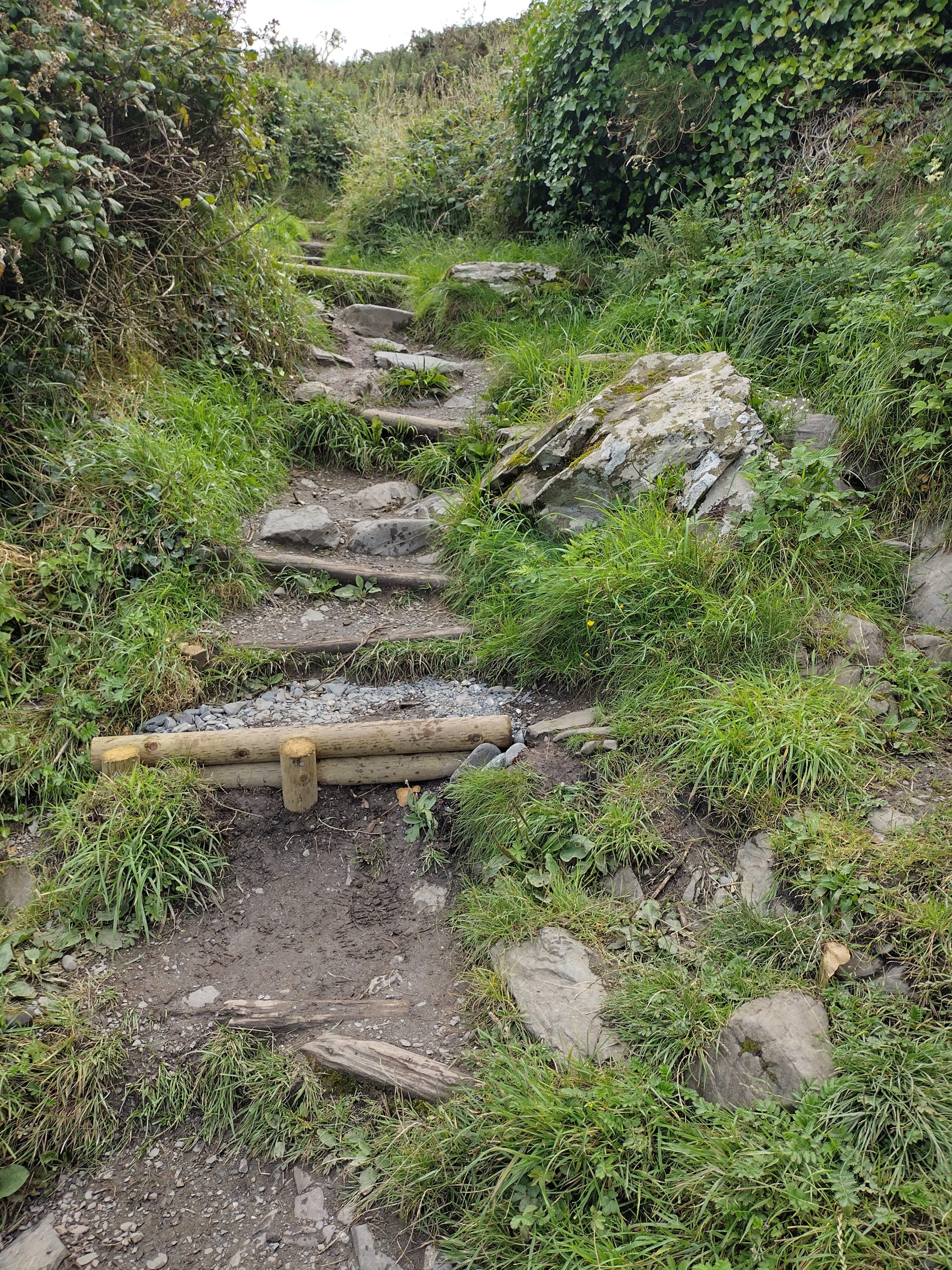
Walkers now have a choice to stay high or head towards the sea to rejoin what remains of the Coach Road for a short distance .
From here, the view of the Copeland islands opens up. This archipelago comprises three islands: Lighthouse Island with its derelict lighthouse is the home of the Copeland Bird Observatory, Big Copeland which, although not inhabited permanently is privately owned, and Mew Island where the current lighthouse is sited.
A set of steps now leads down to the shoreline and on to meet the road at Portavo and the east end of the North Down Coastal Path.